Hiking in Grayling MI
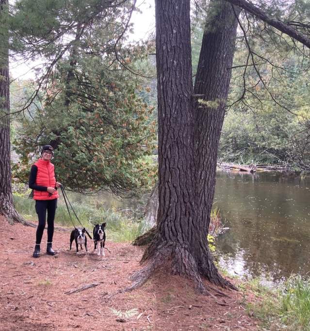
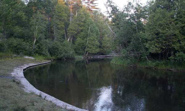
Some of the best hiking terrain in Northern Michigan is in the Grayling area. There are miles and miles of paved and unpaved trails to hike, and hundreds of acres of state land to explore! Spring and summer will offer the opportunity to watch wildlife in their natural setting, fall is a great time to take photos of the colors of autumn, and the hardy hiker will love the rugged beauty of winter. Above picture "Mason Tract Trail-South Branch AuSable River".
Grayling Bicycle Turnpike
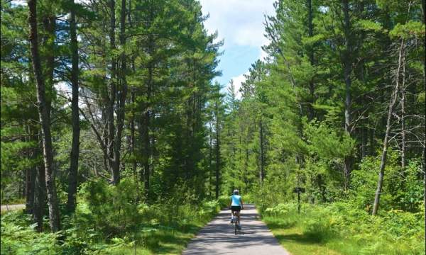
The Grayling Bicycle Turnpike is a wide paved path, separate from roads, stretching from Grayling north to Hartwick Pines State Park, west to Hanson Hills Recreation Area, and south to Kirtland…
W.J. Beal Tree Planting Area
Planted in 1888, the plantation may be the oldest documented tree stand in North America. With 40 species of trees, the purpose of the planting was to determine and demonstrate how well various…
Hiking at Wakeley Lake Area
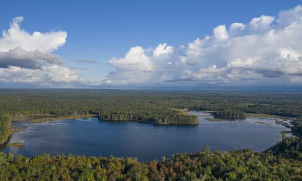
A moderately sized area to take a hike or view wildlife, this area also offers canoeing opportunities. The lake tapers out into a swampy marsh area along the shoreline in some areas. Visitors to the…
Hiking at Hanson Hills Recreation Area
Hanseo Hills in Grayling, Michigan offers a diverse array of five captivating hiking trails, each promising a unique outdoor experience. Trails wind through lush pine forests, providing a serene…
Hiking at Hartwick Pines State Park
Hartwick Pines State Park in Grayling, Michigan, offers an extensive network of hiking trails, immersing visitors in the beauty of nature. The park boasts over 9,000 acres of old-growth pine forest…
Mason Tract
The 8.7 mile Mason Tract Pathway runs through the Mason Tract, 4,493-acre special management area located along the south branch of the AuSable River. It is designed to help protect the quality of…
Hiking at the Rayburn Property
The Rayburn property on North Down River Road is a scenic trail open to the public. This combination 2 mile paved trail and two-track winds down to the AuSable River where bikers can cross on a…
| Area Name | Length | Terrain Comments by Dick Fultz of the Cross Country Ski Shop | Trail Fee |
|---|---|---|---|
| Cross Country Ski Headquarters | 8 loops, 1km to 8 km | 5% hilly, 40% moderate, 45% flat | yes |
| Hanson Hills Recreation Area | loops of 2km to 12km | 60% hilly, 30% moderate, 10% flat | yes |
| Hartwick Pines State Park | 18+ miles | 3% steep, 7% hilly, 60% moderate, 30% flat "one of the nicest trail systems in the state." |
yes |
| Mason Tract Pathway | 10+ miles | 5% Hilly, 85% moderate, 10% flat | no |
| Higgins Lake State Park | 10+ miles | 20% hilly, 30% moderate, 50% flat "Great area for hiking - hilly enough to keep it interesting." |
yes |
| Rayburn's | 2 miles of paved trail | 100% flat "2 mile point to point trail that crosses the AuSable River on a wooden bridge." |
no |
| Shore to Shore Riding/Hiking Trail | across the state | various/sugar sand areas | no |
| Grayling Bicycle Turnpike | 7+ miles | 10 foot wide paved path | no |
| Wakeley Lake | 16+ miles | 25% hilly, 55% moderate, 20% flat "Crawford County's Walden Pond - it is a sanctuary of nature &quiet." |
yes |
In order to use these state forest areas you must have a “Michigan Recreation Passport“. Those are available to purchase at state parks, when renewing Michigan car registrations or when a state ranger is at the site. If there is no ranger when you arrive, they may put an envelope on your car and request that you purchase one by mail.
Other Northern Michigan areas
- Tisdale Triangle
10.1 miles, flat terrain, hiking skiing, camping at e. end of Tisdale Rd., 5 miles E. of Roscommon on M-18. - Red Pine Natural Area
1.5 miles, level terrain, interpretive foot trail, no camping. 8 miles N. of St. Helen on F-97 to Sunset Rd., then E. 3/4 miles to trail. - Pine Baron
8.75 miles, flat terrain, hiking, skiing, camping. W. of Gaylord & S. of M-32; W. from I-75 at S. Gaylord exit 279 on Alba Rd., 2.4 miles to Lone Pine Rd., N. to end of road. - Big Bear Lake
2.2 miles, flat to rolling terrain, hiking, camping M-32 from Gaylord to Co. Rd 495 (Meridian Rd.), S. 1.5 miles to SF campgrounds. - Buttles Road
7 miles, flat to rolling terrain, hiking, skiing, no camping. Between Lewiston & M-32 on Buttles Rd., take Buttles Rd. N. about 3 miles to parking lot. - Cross-Country Ski Trails
Most of these are also open to hiking. - UpNorth Trails: Northeast Michigan Trail Systems
